On the right is just putting points on the maps where I turn corners or turn around. On the left is putting a point at every city block, no matter if I'm going straight or not.

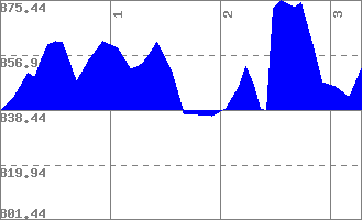
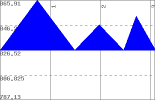
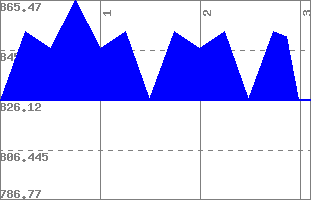
Here are the less and more accurate elevation maps for my normal neighborhood run. See the one on the left, between miles two and three it looks like I run basically straight up a hill. I do. Remember all the times I complained about the big hill in my run?
No comments:
Post a Comment