
I've said it before and I'll say again; I love seeing what searches bring people here. "Minneapolis Bike Trails are Confusing" seemed a great title for a blog post, so I hope this person tries their search once more. I'm not sure in which way "Minneapolis bike trails are confusing" but a few thoughts came to mind. On this ride I think I found pretty much every kind of trail, greenway or bike line that we have to offer, and here is a review of some of them.
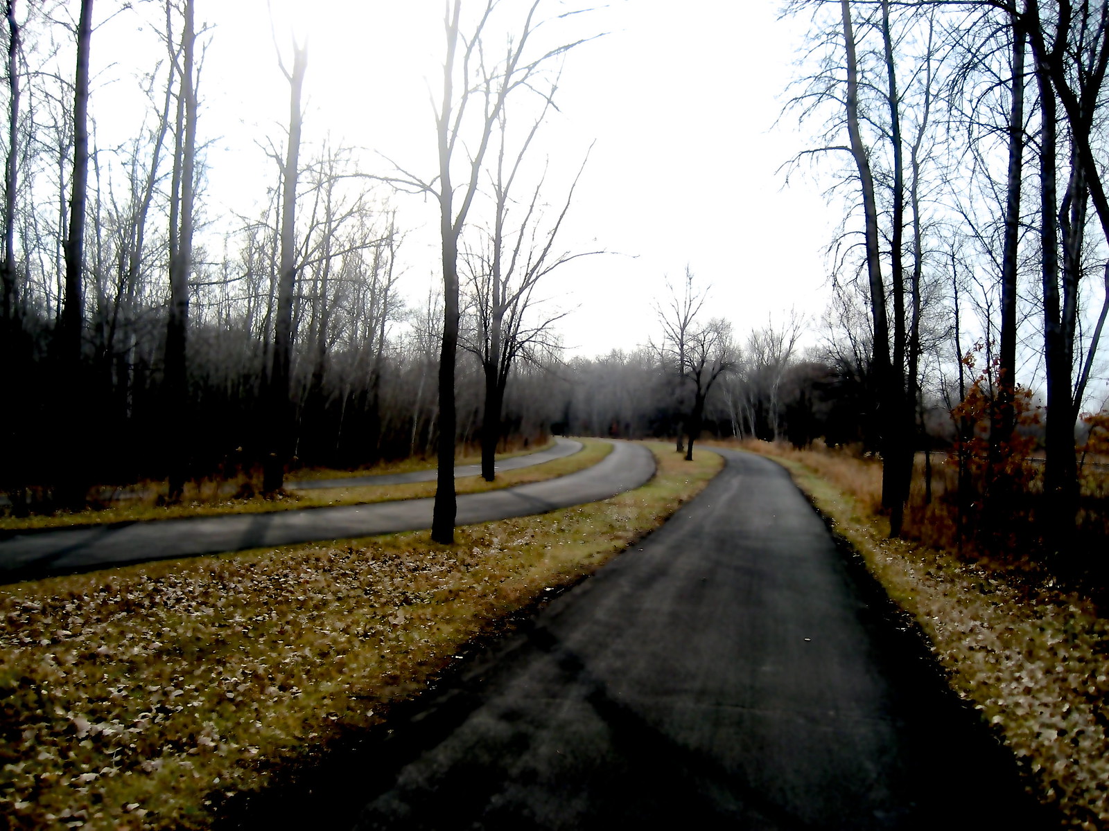
Pedestrian trails vs bike trails - there's several places where Bike Trails and Pedestrian trails are separate tracks, particularly around the lakes and on Minnehaha Parkway. I think the original idea was to keep fast moving traffic (bikes) away from slow traffic (people) and make it safer for everyone. Runners and walkers may use bike trails but it's generally frowned upon as rude. I've never caught a bike on a pedestrian trail. Then there's the places where runners and bikers are on the trail together. Usually there's a pretty clear place for runners and walkers, and then two way traffic for bikes. Or so we hope. In the winter, the city adds to the fun by ONLY plowing the bike trails and asking all the crazies who are still outside to share. It usually works fine.


Bike trails vs Bike highways yes, we have those here. A bike highway is where the inbound and outbound bike traffic are actually on two separate paths. I'm not sure how many trails we have that fit that bill. The ones I know the best are Kennilworth Trail and Cedar Lake Trail.
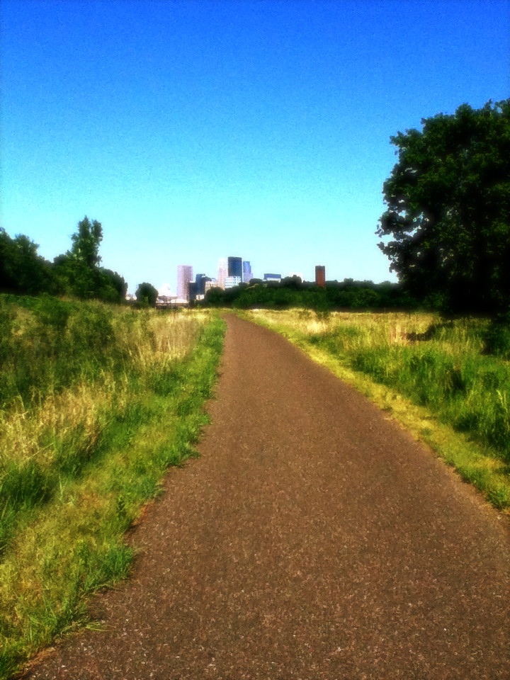

Bike trails that go in five directions at once - which one do I pick? Look at a map. There's no real answer to this one. There's some crazy places in the city where bike trails intersect. Some are super well marked, some less so. This isn't confusing inherently because it's a bike trail. A bunch of roads coming together with poor signage would be just as confusing. If you're riding a new route for the first time, plan ahead and look at the map. You can identify some land marks leading up to the turnoff, and a landmark to know if you've missed the turnoff. I make this point because sometimes I feel I'm the only person in my entire generation who can actually read a map. Even with GPS, it's an important skill folks.


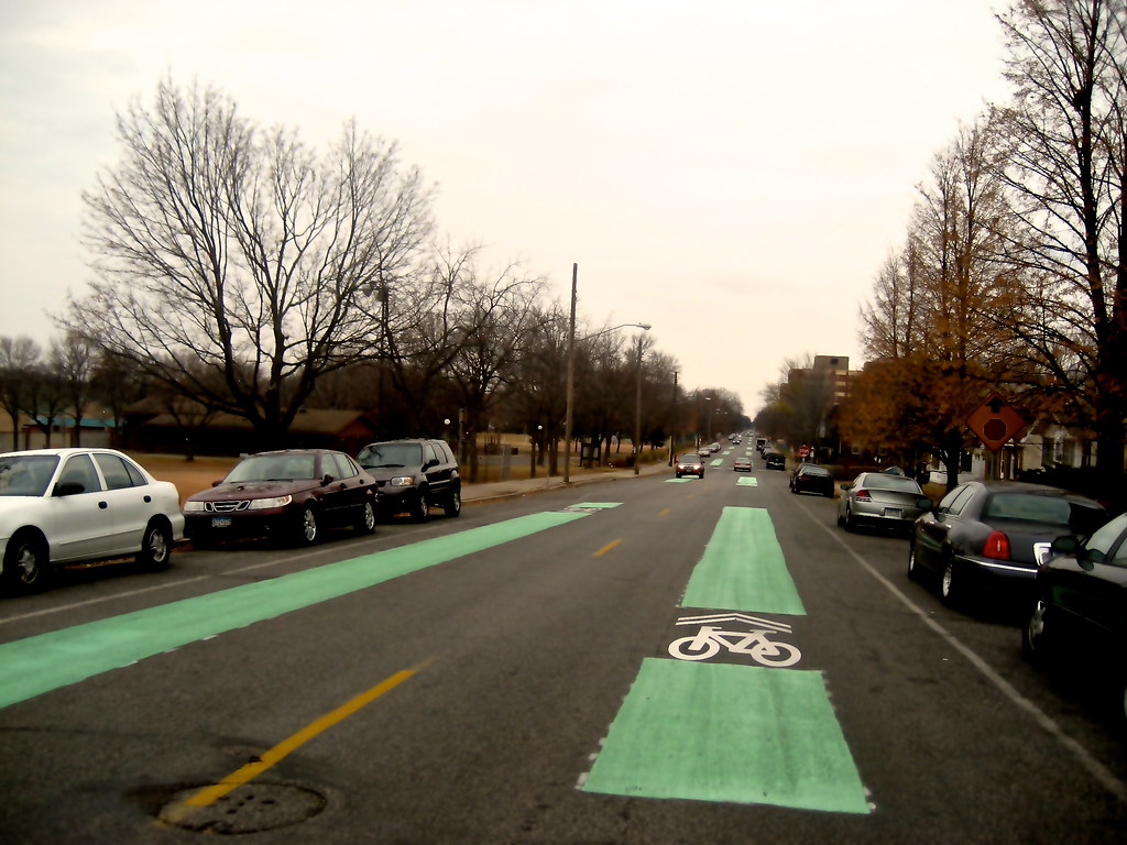
Bike lanes in the city - whoa. We have a few variations on bike lanes. Protected bike lanes have a barrier between bikes and vehicles, and often move the parked cars away from the curb to act as an additional barrier. Some cyclists love them and some find them to be a hazard since motorists are so confused about having cars parked in the middle of the street. You think I jest. Most of our protected cycle tracks are downtown. Then we have the mondo bike lanes of Portland and Park Aves with their uber wide buffers. There's also billions of miles of normal six-foot wide bike lines striped down the sides of roads all over. Bikes are supposed to bike with traffic and obey traffic signals.
 |
| That silver car up there, and the red car in front of it: Parked. (Doesn't it look like they're in the middle of the street?) This is a protected bike line. |
 |
| Portland Ave Bike line with an extra wide buffer |
are a whole other beast. They are roads originally designed for motor vehicles but changes to favor bikes over motorized traffic. I live on the bikeway no one has ever heard of. I also refer to it as "the one they forgot to finish". Serious. Two main bike roads in Minneapolis are the River-Lake Greenway (also known as the 40th Street Greenway) and the Bryant Ave greenway. I hear we're going to (finally) have a north-south route, the 17th Ave Greenway but I'll believe that when I see it.
 |
| Bryant Ave Bike Way - extra big sharrows for bikes. No fun for cars. |
 |
| On the 40th street bikeway - cars are forced to turn right at this intersection, only cyclists can trigger the light to go straight. |
No comments:
Post a Comment